Pocomoke Pollinators
Quest Materials
Quest Info
Good day Quester!
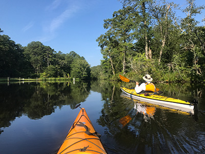
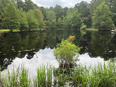
We welcome you to the Shad Landing Area of Pocomoke River State Park!
We hope to find you well and by reading this introduction, we believe we will take only roughly about
EiGhT MiNuTeS of your time. With the documents you have printed, which usually take between
FiVe SeCoNdS and FiFtY-OnE SeCoNdS depending on the speed of your printer, you have all you will need to start your quest! You are welcome to start at any of the locations mentioned within the downloaded packet! If you need help finding these locations, you can use your map or even a GPS!
We will provide the GPS coordinate for each of the main questing locations! To read coordinates it comes in four sections: the first section is the number of degrees, the second section is a number called minutes, the third section is a number is called seconds, and the final section describes the longitude and latitude and is represented by the directions North, South, East, and West. By visiting and completing tasks at each location, you will gain clues to the final stamp and be able to stamp your flower of knowledge! When finished, feel free to decorate your flower and have it hung in the Park Store for the summer!
Could you complete this quest in
TwEnTy-SiX MiNuTeS?
Probably not.
But whether it is
SeVeNtY-FiVe DeGrEeS Fahrenheit or
ThIrTy EiGhT DeGrEeS Celsius your journey will take you all around Shad Landing!
And after you finish with our quest here, we highly encourage you to seek out other quests across the state!
NoRtH or WeSt wherever your adventures take you…we’re sure you’ll have fun exploring!
So have fun, be safe, and happy questing!
**CONSTRUCTION NOTICE** 4/22/22 - The opening of the Milburn Landing Area of Pocomoke River State Park will be delayed due an ongoing paving project. Tentatively the park will reopen in late-April or early-May 2022. The Shad Landing area is open during this time.
Park Information
Location: Worcester County
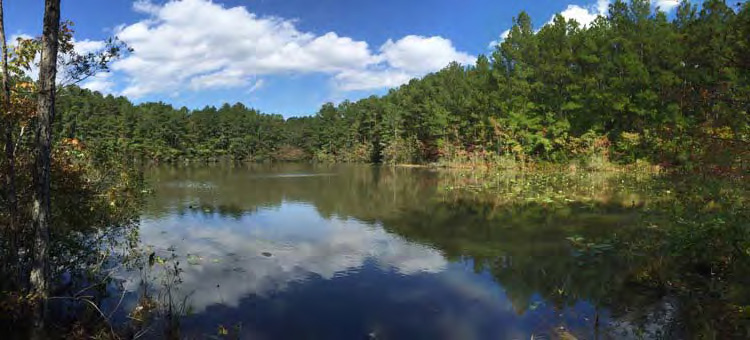
The park is located along the banks of the Pocomoke River and is divided into two sections. The Shad Landing area is 3.5 miles south of Snow Hill near RT. 113. The Milburn Landing area is 7 miles northeast of Pocomoke City via RT. 364 or RT. 12.
Contact: 410-632-2566
Driving Directions:
The park is located along the banks of the Pocomoke River and is divided into two sections. The Shad Landing area is 3.5 miles south of Snow Hill near RT. 113. The Milburn Landing area is 7 miles northeast of Pocomoke City via RT. 364 or RT. 12.
Enter the following street addresses into your favorite mapping device to get directions to Pocomoke River State Park:
Milburn Landing Area
3036 Nassawango Road
Pocomoke City MD 21851
38.126901, -75.490733
Shad Landing Area
3461 Worcester Highway
Snow Hill MD 21863
38.139020, -75.440431
Mattaponi Ponds Camping Area in the Pocomoke State Forest
Blades Road
Pocomoke City MD 21851
38.124108, -75.467277
Hours of Operation: Sunrise to sunset
Certain activities are permitted outside of the regular park hours (e.g. fishing, boat launch, hunting where permitted). Please check with the park before your visit if you plan to engage in an activity which requires you to be in the park before or after the posted hours.
Hunting Policy: No Hunting
Hunting permitted in adjacent state forest
Pet Policy:
Milburn Landing- Pets are allowed
Shad Landing- Pets allowed in Acorn Trail, Deer Run, Fox Den and Waters Edge camping loops. Pets allowed in all day-use areas.